Ladera Sur Park
Baena, 2008
A transferring of landscapes.
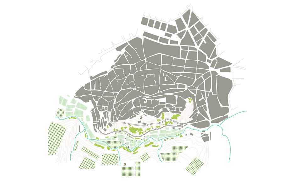
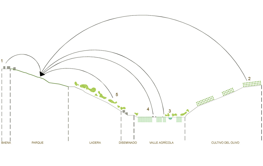
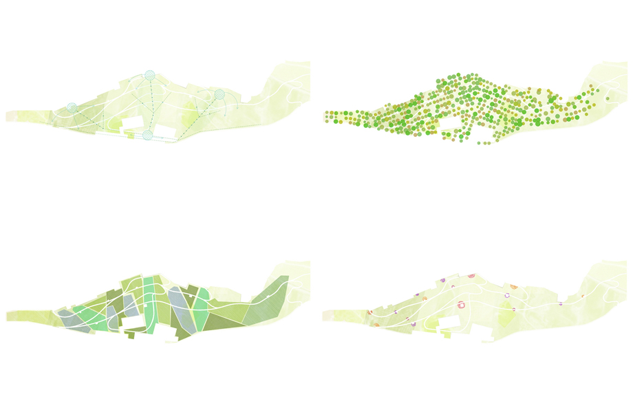
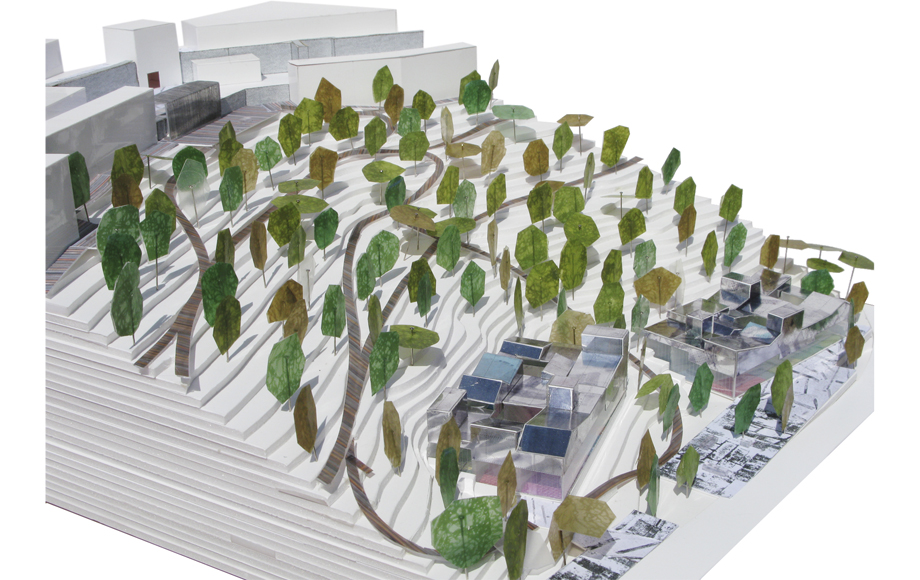
The park is understood as a reflection of its surroundings, that is, landscapes adapted to the arid and semi-arid climatic reality of Baena whose physical, functional, symbolic and sustainable characteristics are the catalysts for the regeneration the Ladera Sur. Transformed by environmental technologies, this group of transferred landscapes constitute the proposal: terrain, paths and rest spots; vegetation, shading and clearings; buildings and atmospheres.
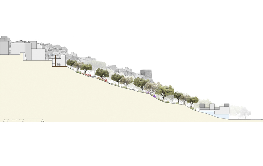
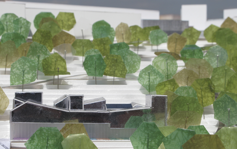
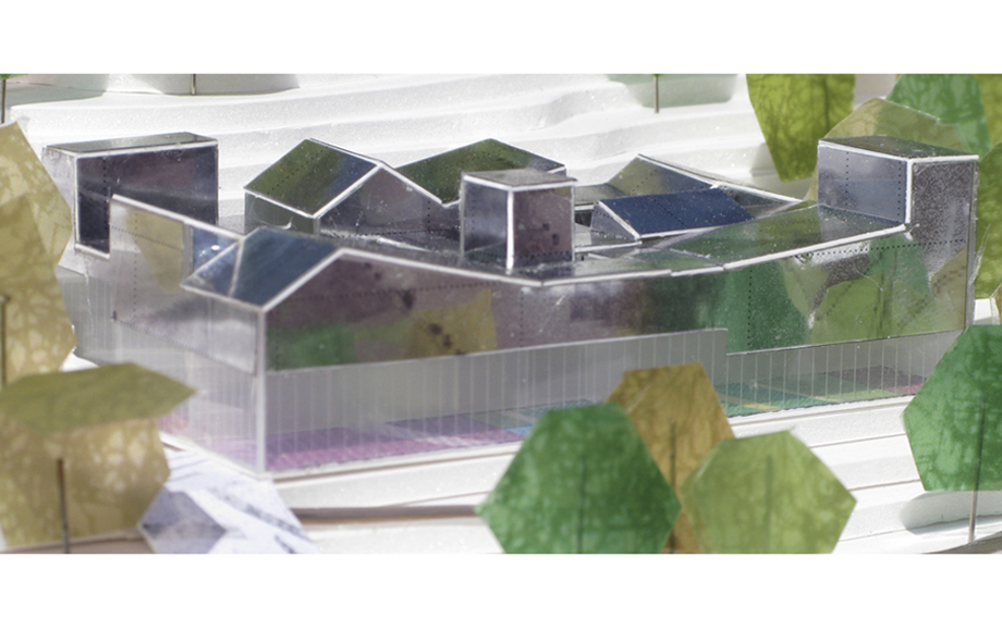
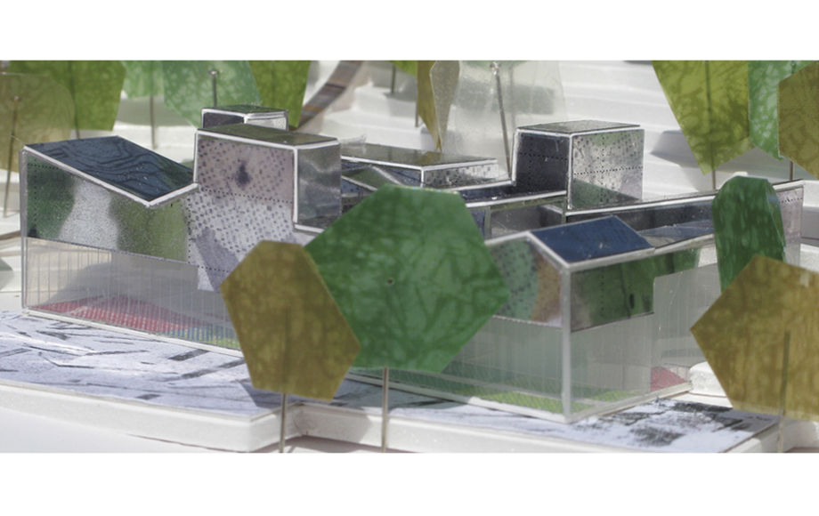
The forestation technique follows the plantation methods of olive groves. The surrounding woodlands inform the use of certain trees in areas with larger concentrations of water. The fields along the river valley are reflected onto the surface of the hilly terrain. The architecture linked to agricultural production—white, faceted, of scales that are integrated into the topography— is the reference used to materialize the new public facilities at the base of the slope. Lastly, the natural way in which the city settled and grew over the topography is replicated by placing the park’s features on the flatter elevations and by producing transition slopes creating a network of paths that tie the different spaces and the edges of the area together.
The area in contact with the historic center creates a continuous relationship between park and city by means of a walkway devised at the uppermost elevation. All paths depart from this area to float above the topography, descend along the slope, connect with the new facilities at the bottom and other pathways that circumvent the city.


